1st day, Feelin artsy at the Historic New Orleans collection
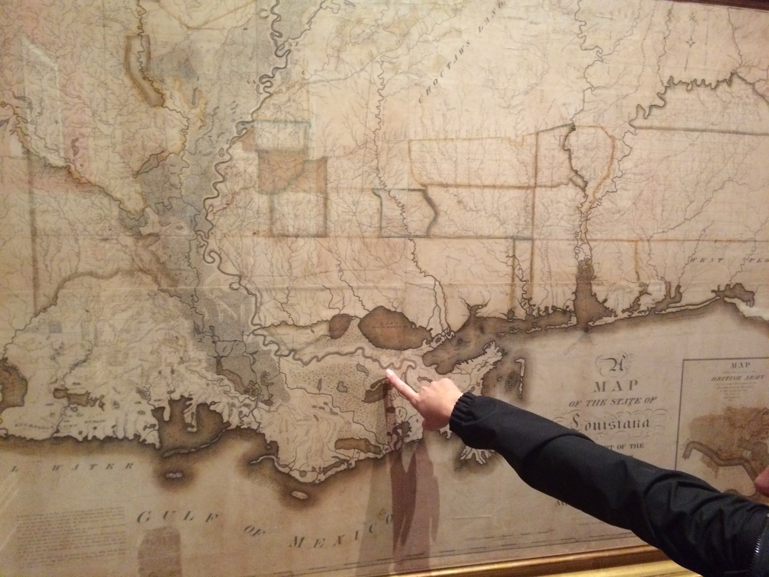
A map of the state of Louisiana with part of the state of Mississippi and Alabama Territory ca. 1820 by Maxfeild Ludlow
#ilovemaps
A map of the state of Louisiana with part of the state of Mississippi and Alabama Territory ca. 1820 by Maxfeild Ludlow
#ilovemaps