Mapping Spill Impacts
We saw some really neat efforts to map oil spills and explore impacts associated with spills in spatially-explicit ways at last summer’s ESRI Users Conference in San Diego. This very brief rundown of what was on display shows how the science of documenting oil spill impacts has embraced geospatial science. GIS is no longer a secondary concern. Rather, it is at the center of our modern investigations.
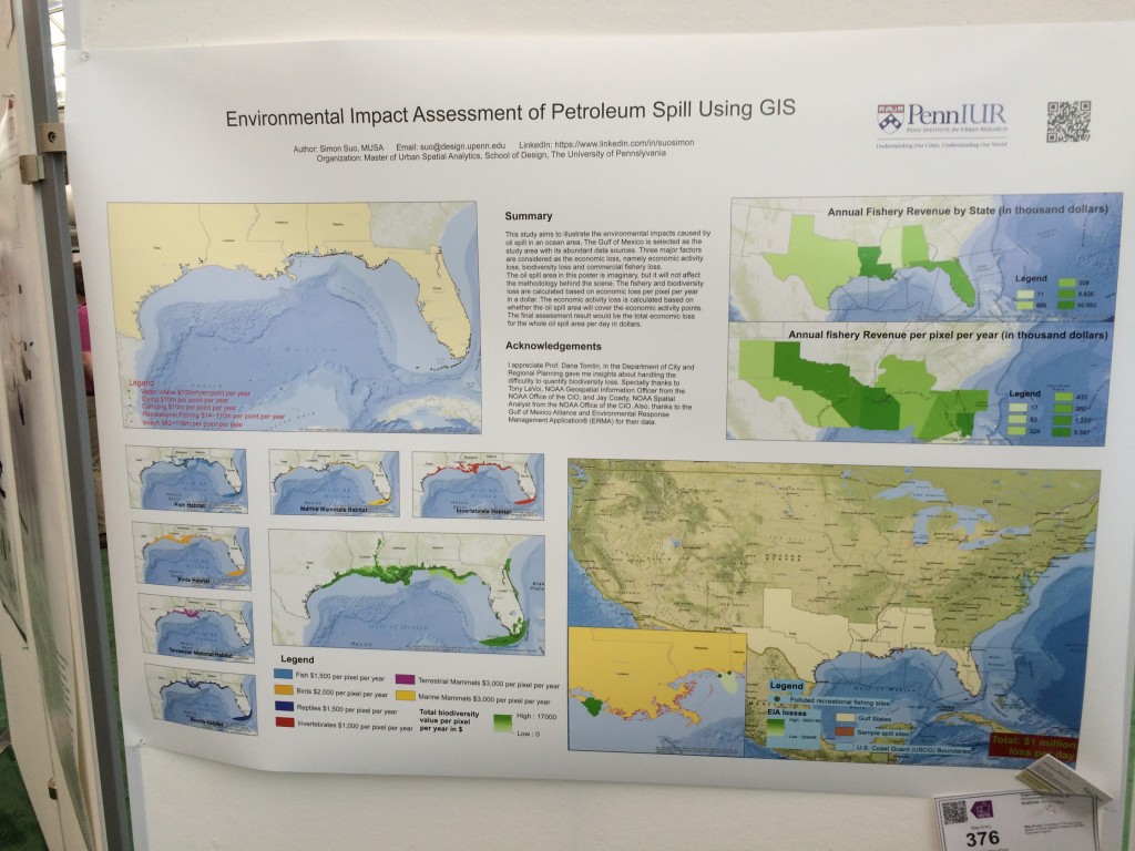
Presenters showcased everything from a first-principals approach from Simon Suo at Penn who is trying to create a GIS to quickly predict possible impacts from a future spill…
…to simple maps pulling together geospatial data such as this visualization of tracking impacts from fracking chemicals upon water tables…
…and documentation of expenditures from the Deepwater Horizon spill for post-spill academic studies and ecological restoration projects such as the Deepwater Horizon Project Tracker by the Trust for Public Lands.


